Sorico
alta via del lario trekking
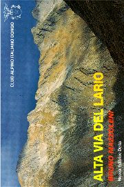
Alta Via del Lario was created in the late Seventies by the CAI (Alpine Italian Club) of Dongo, which also published the tourist guide in the picture, full of descriptions of the whole track.
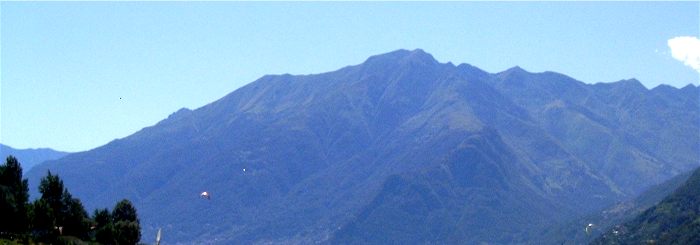
This path goes from Menaggio to Sorico, between 2000 and 2450 metres a.s.l., and it has some difficult parts on the mountain peaks of the Three Parishes, at the border between Swiss Mesolcina valley and Val Bodengo in Valchiavenna.
San Bartolomeo is the starting point (or the arrival) and it is 1800 metres high; it can be reached through the road that goes from Gera to Bugiallo, then up to Fordeccia and San Bartolomeo, which is the starting point to climb Berlinghera mountain (1930) too.
The first leg, from San Bartolomeo to Capanna Como, takes about 9 or 10 hours of walking.
From the little church of San Bartolomeo, the track goes up to the mountain pastures of Mezzo and Pescedo to the ridge and go on towards Como, always following map indications (National Swiss Map numbers 277 Roveredo and 287 Menaggio) and CAI tourist guide.
selected readings

Alta Via del Lario
Club Alpino Italiano Dongo
